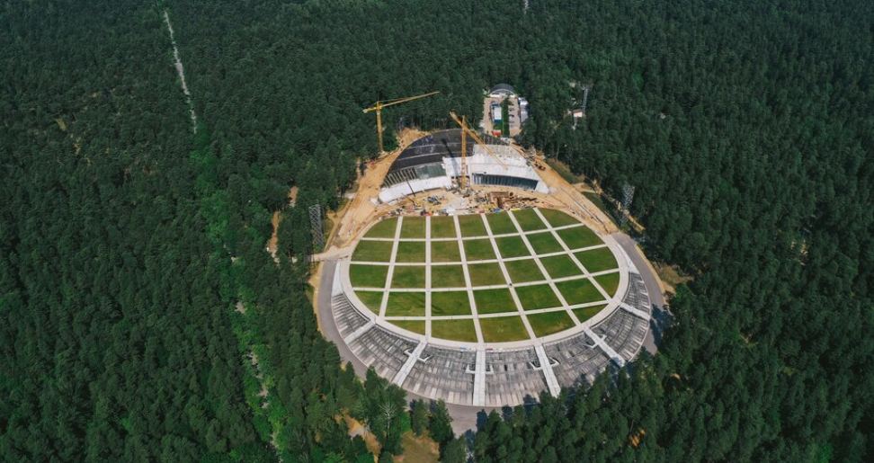
Aerial mapping is the technique of acquiring geographic information from a bird’s-eye view by using drones, planes, or helicopters, and it plays an important role in various fields such as construction, farming, real estate, and ecological surveys. However, this has extended the existing technological progression to a level that includes complications and responsibilities.
Hence, aerial mapping insurance coverage provides shields to the businesses and operators that participate in aerial mapping against loss that may occur as a result of an accident, destruction of equipment, or liability lawsuit. In this article, the reader will get to know what exactly aerial mapping insurance entails.
Coverage Components of Aerial Mapping Insurance
- Liability Insurance
The best protection a company or an individual can have for aerial mapping insurance is through liability insurance. They include the cost of compensation to legal suits in the event you cause harm to other people or their property during aerial mapping. The capability of a drone or an aircraft to crash is a well-known possibility, and in this way, liability insurance safeguards your business from high lawsuit expenses.
- Equipment Insurance
Aerial mapping requires the use of costly elements such as remote-piloted aircraft, cameras, and sensors. Equipment insurance is a form of indemnity that avails itself in cases where these tools get damaged or get stolen or lost and require replacement or repair. Thereby, providing for your operations to go smoothly and without the added pressure and costs of replacing high-value assets.
- Data and Cyber Liability Insurance
Information collected when aerial mapping is done is often significant, important, and in some cases, confidential. Cyber liability insurance or data and cyber liability normally shield against costs arising from data tampering a cyber-attack or data loss. To protect your maps and other materials, it is necessary to have this coverage to warrant the confidentiality of the data collected.
- Hull Insurance
Hull insurance protects the actual body of a certain aircraft or a drone that is used in aerial mapping and surveys. Hull insurance is an insurance type that deals with ensuring any damages related to aerial vehicles’ hulls, whether due to accidents, mechanical failure, or weather conditions, are catered for so that the aerial vehicles are as functional as possible with fewer chances of breakdowns.
- Business Interruption Insurance
Business interruption insurance fills in the compensation for lost business income and overhead expenses resulting from an interruption to your aerial mapping business operations due to an event that causes the halt of the business. This coverage can be of enormous assistance to unfasten the economic hitches in events of periods of downtime.
Conclusion
It must be understood that aerial mapping insurance protection is fundamental to any company or operator that engages in the acquisition of geographic information from the air. This particular insurance shields aerial mapping operations from risky events such as equipment loss or damage, legal predicaments, and data loss and protection, which helps it to continue on its course without any problems. It is crucial to comprehend what facets of it are crucial, which sections compose this coverage, and what issues should be taken into account while choosing it to avoid potential risks for the aerial mapping business.
Have A Look :-


